Bhoomi
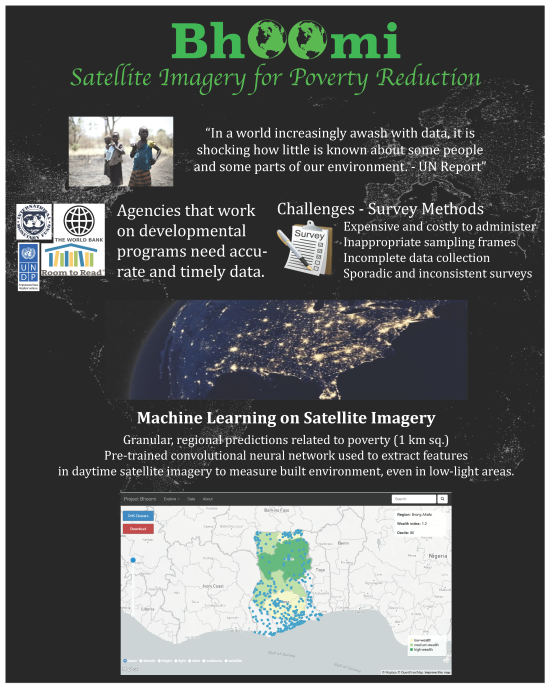
Our objective is to build a web tool that leverages spatial data, deep learning, and essential principles of information visualization in order to provide international development planners and stakeholders with information that affords a better understanding of regions in which official data is difficult to obtain. Although this objective could generally serve many different types of projects and industries - both public and private - our focus would particularly be on developing a tool for use cases in the developing world wherein policy makers need access to updated predictions about the wealth and consumption prospects of people in areas of interest.
The project’s motivation is inspired by one of the project team member’s first hand experience being involved in remote development projects in rural India. It is also inspired by the capabilities offered by today’s deep learning technology and the ability to access and obtain high-resolution spatial imagery at a low cost.
A major emphasis of this project is to demonstrate the power of leveraging satellite imagery and machine learning for social good.


