SimCLR-S2
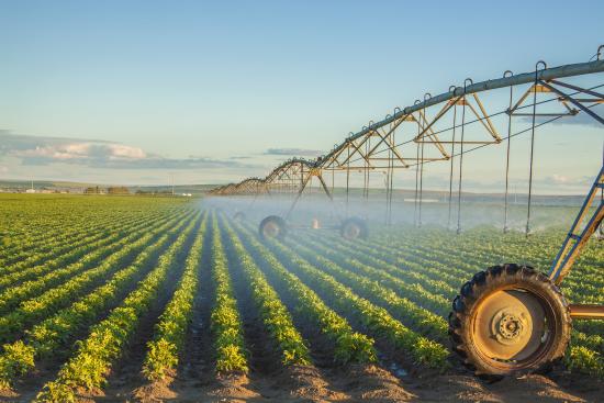
As the global population grows, so does agricultural demand. The increase in demand must be monitored carefully since agricultural production relies on delivering water to croplands. In California, for example, more than nine million acres of farmland are irrigated, which represents roughly 80% of all water used for businesses and homes. Accurately measuring current and anticipated water needs is critical to ensure that water resources are allocated appropriately.
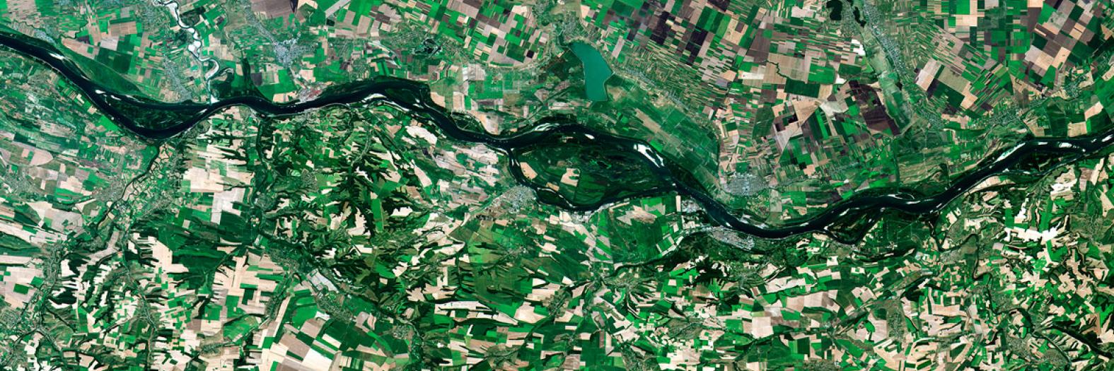
Historically, monitoring water usage has been a slow and expensive manual process. As technology has evolved, we see ourselves in a situation where we can leverage satellite imagery and computer vision techniques to classify land areas associated with agriculture and irrigation infrastructure. This technology has undoubtedly increased the velocity at which we can monitor irrigation patterns, but the need for labeled data requires manual effort and is a bottleneck. This project aims to leverage new capabilities in the computer vision space to classify irrigation in satellite images with a minimal amount of labeled data.


