USGS Water Data
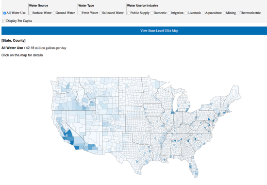
Water is a natural resource necessary for human life; however, due to the developed water supply system and (usually) abundant rainfall in the United States, many Americans do not frequently think about where their water comes from, how it is used, and how much is left. It is often taken for granted that water just flows out of the faucet on command. Easily visualizing the extent of the water distribution can help with public comprehension of this limited resource.
Every five years since 1960, the US Geological Survey has published Circular reports depicting trends in total water use among different geographic areas, categories of use, and sources - “the longest compilation record of water-use data by a Federal agency in the United States”. Unfortunately, this wealth of information is neither easily accessible nor engaging for the average person. Our tool hopes to bridge that gap by providing an easy-to-use, interactive tool to quickly understand patterns of water usage in your community.


