Irrigation AI
Nearly 80% of the nation's water consumption goes to irrigation of agricultural crops in US. Meeting the water demands for urban, industrial, and environmental uses in an efficient and sustainable manner has become increasingly challenging. We believe that the first step to tackle these issues is to identify the current irrigated areas and rainfed areas quickly.
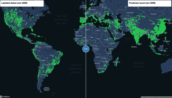
The current global map of irrigated areas dates back to year 2000. This project aims to use year 2000 dataset (MIRCA) to train a model and predict current irrigated and rainfed areas from current satellite images.


