Updating Irrigation Maps
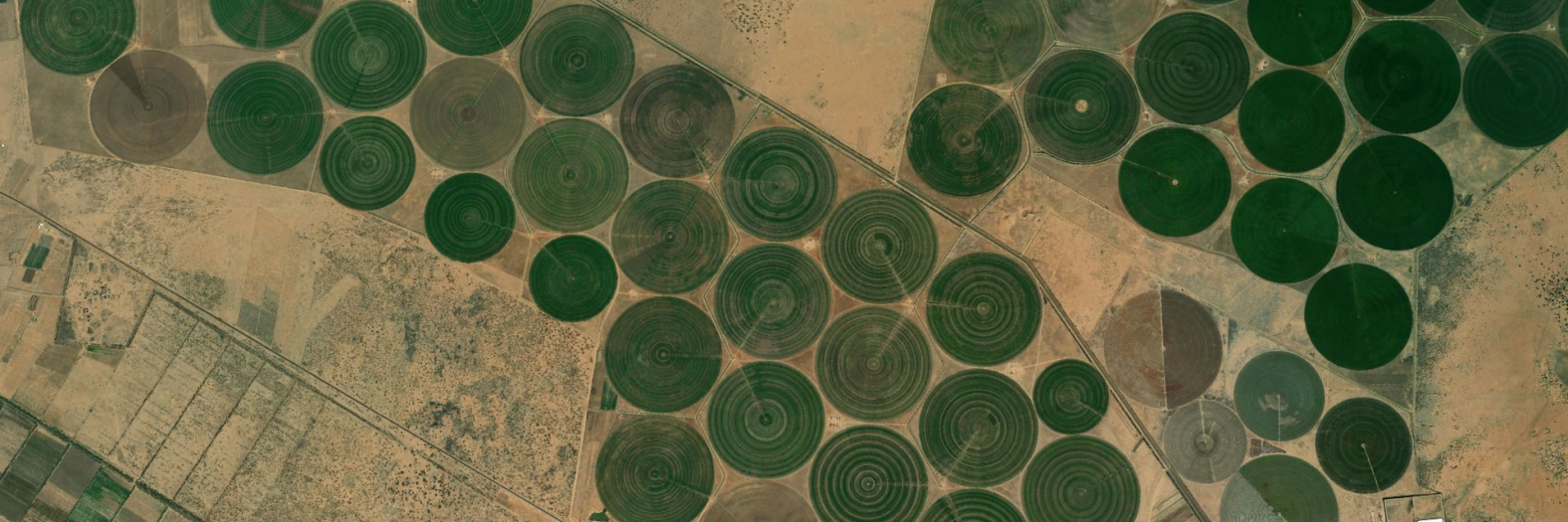
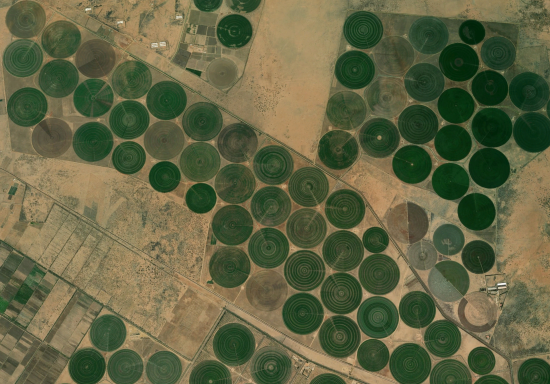
The global distribution of irrigated areas is unknown. An updated map is required to determine the impact of agriculture on local water resources. Using Landsat 7 satellite images at 30 meters resolution and the known irrigated areas from the year 2000, we train a neural network algorithm to map irrigated areas today.
Special thanks to Prof. Paolo D'Odorico for providing this idea.


