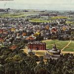
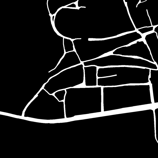
Road Segmentation from Satellite Imagery
In many developing countries, roads are not easily accessible or recognizable. Maps are also hard to find and this limitation can affect response activities during natural disasters.
Our solution to this issue is a segmentation model that can identify roads within satellite or aerial imagery, packaged within an application that can be run on or offline. We believe that this solution can help solve the issue of poor map quality in developing areas by quickly providing users with roadmaps and allowing them to use them offline in cases where internet connectivity is not an option.
Given that this application is built on a pre-trained model, roads can be identified within images rapidly. Our application is also flexible, as it can handle multiple filetypes and has no requirement for image dimensions.


