Louisiana AirWatch
Our mission is to empower Louisiana with high quality air pollution data.
At Louisiana AirWatch, we make air pollution data and analysis more accurate, trustworthy, and accessible for residents, researchers, and advocates in Louisiana. We strive to build towards a healthier, safer, and more equitable community.
We generate up-to-date high-resolution ground level estimates of nitrogen dioxide pollution using Deep Learning to address residents’ concerns about elevated levels of industrial pollution and inadequate pollutant monitoring. Using this novel dataset, we conduct exploratory analysis to better understand the disparate impact of pollution in the state, and develop two applications for how this dataset can be used to support current environmental advocacy efforts in Louisiana.
The Problem
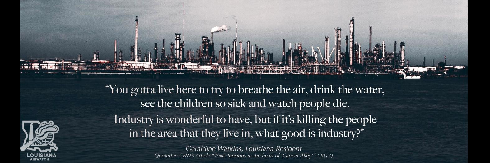
Residents in Louisiana have raised concerns for decades about heightened levels of industrial air pollution in the state. Of particular concern is the stretch of land known as Cancer Alley, a disproportionately black and brown area which has over 200 industrial plants and cancer risk up to 47 times the national average. This is not just an issue of the environment; it is an issue of health, equity, and human rights.
One of the biggest concerns is a lack of adequate air monitoring, making it challenging for researchers and advocates to accurately understand or measure risks from air pollution. Louisiana currently has only 9 nitrogen dioxide monitors across the entire state; Additionally, these sensors face several limitations: they are costly; fixed in place; and cannot provide comprehensive, statewide data.
Our Work
In order to fill the gap of inadequate pollutant data in the state, we develop the only up-to-date, accessible, high-resolution dataset of nitrogen dioxide pollution for the state of Louisiana. After creating our dataset, we work with researchers and advocates in Louisiana to identify ways that our dataset can be used to expand on current literature and support current environmental advocacy efforts.
Our work takes three parts:
Advancing Research: We use the high resolution of our dataset to conduct the first regional analysis of pollutant exposure in Louisiana at the census block level. We find that black and brown residents are disproportionately impacted by nitrogen dioxide pollution.
Supporting Advocacy: Finally, we build out two applications using our dataset that can be used to further current environmental advocacy work in the state.
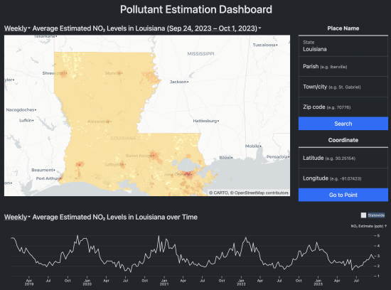
- Pollution Estimation Dashboard: Our pollution estimate dashboard gives residents, researchers, and advocates direct access to our pollution estimates. Advocates can use the dashboard to get a better sense of areas with health and safety risks, helping them determine where to focus their efforts.
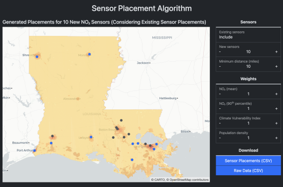
- Sensor Placement Dashboard: Our sensor placement dashboard helps ensure that future air monitors are placed in intentional, trusted locations. We use a simple, adjustable, linear weighting algorithm, allowing advocacy groups and government agencies to identify the best locations for new nitrogen dioxide sensors that meet their goals.
Visit our website to learn more about our methodology and view our applications.
Acknowledgements
To Alex Hughes and Uri Schonfeld, our capstone instructors, for being so generous with their time and helping us every step along the way!
To Alex Kolker, our mentor in Louisiana, for his constant feedback and subject-matter expertise
And to all the researchers and environmental advocates who met or emailed with us to help this project be a success!


