High-Res Irrigation Detection
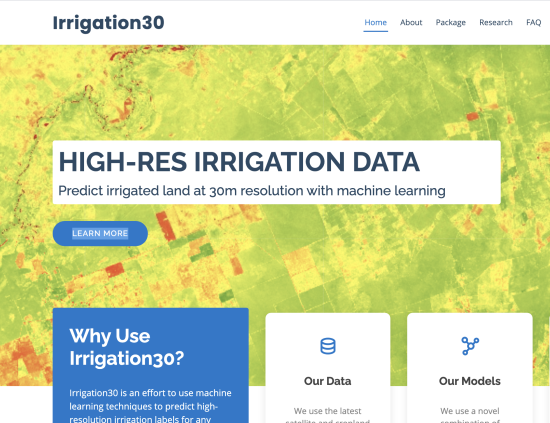
Numerous applications exist for which an accurate and precise understanding of irrigation usage around the world is paramount. Current irrigation data sources, however, are out-of-date, low-resolution, and of suspect quality. Leveraging massively parallel compute resources with Google Earth Engine, high-resolution earth imaging and machine learning, we have developed a novel irrigation model and Python package to create 30m-resolution irrigation predictions of cropland worldwide. Our modeling approach combines unsupervised clustering using NDVI temporal signatures with a precipitation heuristic to label the months that irrigation peaks for each cropland cluster in a given year. Since there are no programmatically accessible irrigation data sources at 30m-resolution, we designed our model evaluation methodology to make use of crowdsourced irrigation data, expert user studies with environmental science researchers, and additional metrics to evaluate the consistency of our model predictions. With a small crowdsourced test set of cropland coordinates and irrigation labels, our model performs almost identically to the NASA-funded GFSAD30 irrigation data while achieving consistency scores in excess of 97%.


